Elevate your visual storytelling with breathtaking 4K/8K aerial cinematography. Certified remote pilots, full airspace compliance, and Hollywood-grade camera gimbals for real estate, infrastructure, and industrial megaprojects.



Ground-level cameras cannot convey the sprawling connectivity of a 100-acre residential township, the architectural geometry of an elevated expressway, or the vast capacity of a mega solar farm. Our licensed aerial operations deliver Hollywood-grade establishing shots that command instant awe and prestige.
Smooth parabolic reveals, high-speed low-altitude passes, and birds-eye orthomosaics filmed with dual-operator controls for flawless camera tracking.
We handle all Digital Sky airspace permits, local police liaison clearances, and yellow/red zone flight permissions, protecting your brand from legal liability.
Equipped with DJI Inspire 3 full-frame cinema sensors and Zenmuse X9 cameras delivering 14+ stops of dynamic range for seamless grading with ARRI/RED footage.
NITTE University • 4K Campus Aerial Showcase
Precision piloting and cinema-grade optics combined to elevate infrastructure, commercial real estate, and industrial marketing.
Demonstrate the sheer magnitude of real estate acreage, arterial highway connectivity, and master-planned township amenities effortlessly.
Buttery-smooth 3-axis gyro-stabilized motion with GPS waypoint locking that delivers pristine tracking shots even in gusty wind conditions.
Every commercial flight is conducted by licensed pilots with comprehensive aviation insurance, fail-safe return-to-home protocols, and full legal indemnity.
Achieve cinematic helicopter-level aerial production values at a fraction of traditional aerial filming overheads with zero footprint.
Different industries require distinct flight dynamics. From high-speed FPV fly-throughs to slow-burn sunset real estate pans, we adapt to your creative brief.
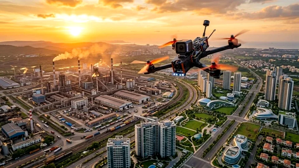 Real Estate & Plots
Show prospective homebuyers the view from the 30th floor before groundbreaking. We capture open plots, elevation progress, clubhouse amenities, and sunrise panoramic views.
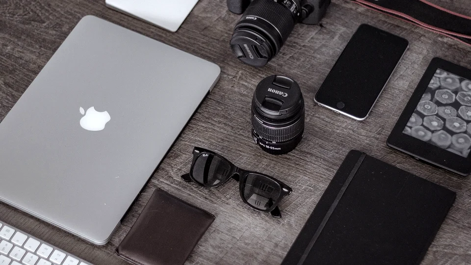 Infrastructure & EPC
Document the epic engineering of expressways, metro viaducts, multi-span river bridges, and port harbors with smooth long-distance flight corridors.
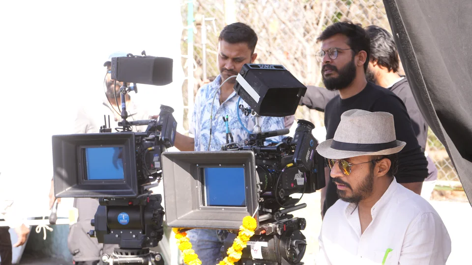 Industrial & Solar
Capture the sprawling footprint of automotive plants, thermal units, and utility-scale solar farms for investor prospectuses, corporate films, and site inspection reports.
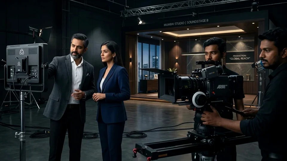 Resorts & Tourism
Transform scenic mountain getaways, coastal beach resorts, and luxury heritage hotels into alluring vacation destinations with golden-hour cinematic sweeps.
A great aerial film requires careful flight planning, atmospheric timing, and strict airspace compliance. Our 4-step workflow ensures safety, legal certainty, and breathtaking visuals.
We cross-reference coordinates with the DGCA Digital Sky map, submit flight plans for yellow/red zone approvals, and notify local administration where required.
Our directors calculate solar azimuth angles for optimum golden-hour lighting and program automated flight paths to ensure buttery-smooth repeatable camera passes.
A certified pilot controls aircraft flight vectors while a dedicated camera operator manipulates the 3-axis gimbal, capturing complex dynamic tracking shots.
We stabilize flight horizons, correct atmospheric haze, match color profiles with ground-camera footage in DaVinci Resolve, and export broadcast-spec masters.
Key legal, technical, and operational questions answered for real estate directors and project managers.
Give your project the cinematic grand establishing shot it deserves. Licensed, insured, and broadcast-ready.